The route to the end of the world
 |
| The Route to the End of the World |
It took us a little while to disembark, pick up our bags, and find the rental car counter. I joked to my husband that there must be some international company selling prefabricated airports, because the layout of the terminal in Punta Arenas was exactly the same as in Palau. "Small Airport Design #2," I quipped. He pointed out that I might actually be right.
We loaded our suitcases into the car. Carl drove; I sat shotgun, and our dear friend, Maria, climbed in the back. We headed out of the airport parking lot to the north. Our adventure had just begun.
There is one major highway through southern Patagonia. It runs roughly north-south and skirts the Argentine border. Actually, at one intersection, we passed right by a border crossing. Turn right to enter Argentina. Continue straight to stay in Chile. We stayed the course - straight ahead to Puerto Natales.
 |
| Street sign on Route 9 |
I pulled up the map repeatedly, not to make sure we were headed in the right direction (there was only one road to choose from) but to double-check where I was. Am I really at the southern tip of South America? Am I really riding through the Patagonian wilderness? Somebody pinch me.
The official name for this highway is Route 9. But it is better described by the name at the top of every street sign we passed: The Route to the End of the World. For a sparsely-inhabited, narrowing tip of a continent, I thought the name was incredibly fitting. As we pushed further along the road, we crossed an invisible line and entered the province where Puerto Natales is located: The Province of Last Hope.
We passed field after field, sheep after sheep. Little by little, the landscape began to roll, then climb. The bare, gnarly trunks were replaced by less-battered timbers, some even with leaves adorning their twisted gray branches. Bushes seemed to be a bit taller. The landscape of the Magellanic tundra began to remind me of the American West.
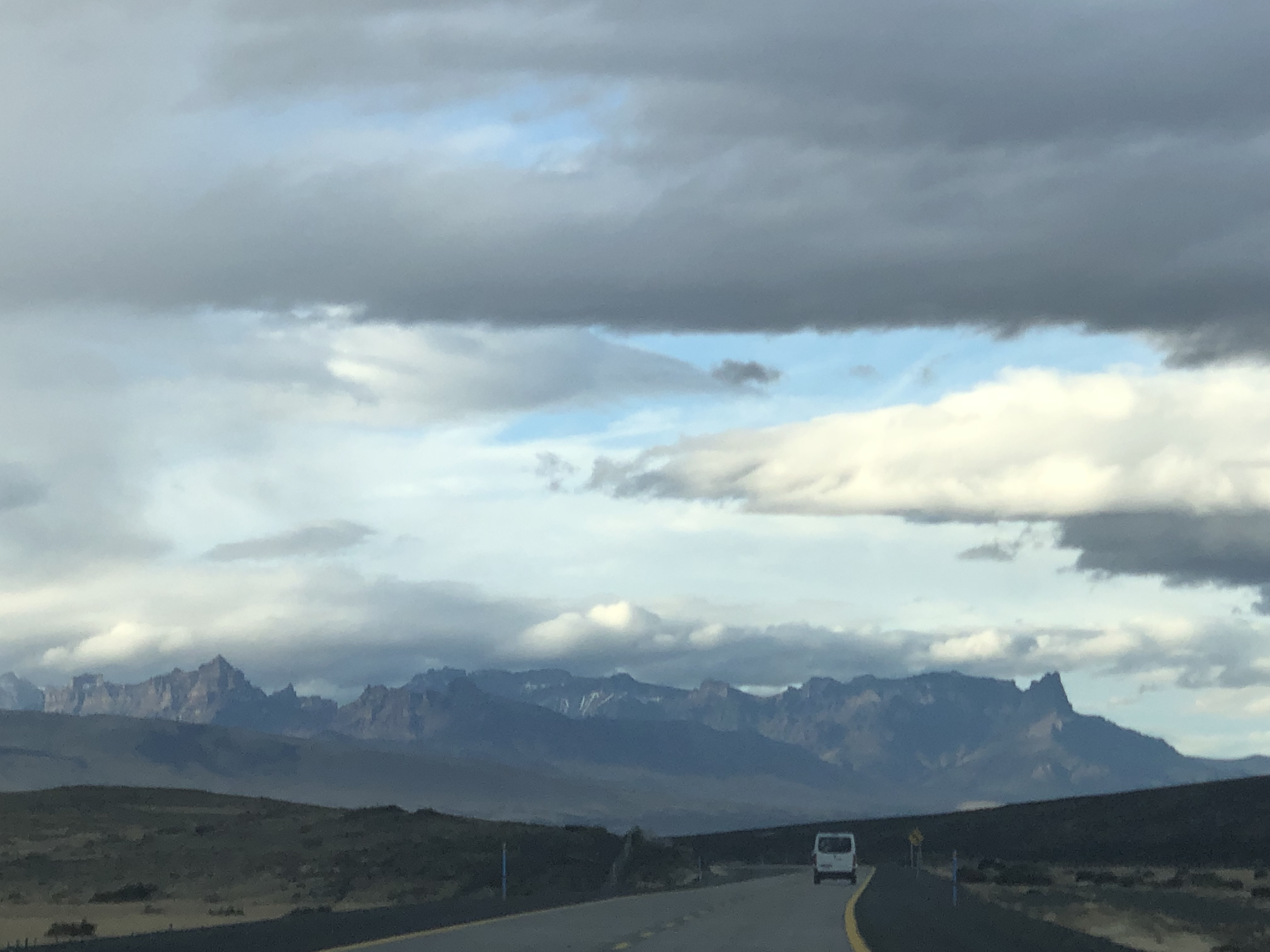 |
| Seen on Route 9 |
Friends, I am incredibly fortunate to have the world's coolest job. I work hard for it, but I also get to do some incredible things. In this case, I am leading a group of PhD students on a field trip through Patagonia and taking the opportunity for a vacation while I'm here. The next two weeks will be rich with discovery, exploration, and yes, data. Stay tuned for updates from the end of the world!
Comments
Post a Comment